You are using an out of date browser. It may not display this or other websites correctly.
You should upgrade or use an alternative browser.
You should upgrade or use an alternative browser.
Weather in your area?
- Thread starter phideaux
- Start date

Help Support Homesteading & Country Living Forum:
This site may earn a commission from merchant affiliate
links, including eBay, Amazon, and others.
I just spent the early morning hours shoveling some snow so I could get from the house to the shop and back without tracking snow into the house. We won't be getting much in the next few days and the sun will help warm the ground and concrete back up to dry it out.
58/67, .04" rain
Well, it wasn't supposed to but it started snowing again. It looks like I am trapped in my shop and house with nothing to do but cook and reload.
Oh, the inhumanity of it!


Oh, the inhumanity of it!
57/64 and sunny
Just after I got the area around the house cleaned it started to snow again. 
It won't be bad warmer temps are on the way and it is hard for it to snow when temps are in the 40s.
It won't be bad warmer temps are on the way and it is hard for it to snow when temps are in the 40s.
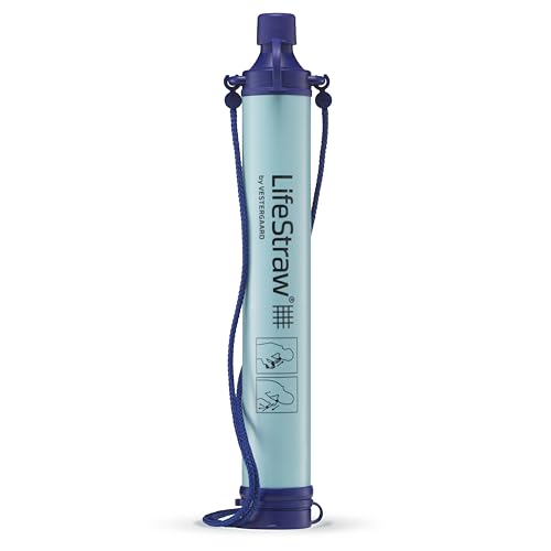
$13.94
$19.95
LifeStraw Personal Water Filter for Hiking, Camping, Travel, and Emergency Preparedness, 1 Pack, Blue
Amazon.com

$13.49
$26.99
7 Rules of Self-Reliance: How to Stay Low, Keep Moving, Invest in Yourself, and Own Your Future
Amazon.com

$31.97 ($10.66 / Count)
$39.90 ($13.30 / Count)
noonberry Kitchen Canisters for Countertop - Set of 3 - Airtight Coffee Tea Sugar Container Set - Country Rustic Farmhouse Canisters Sets for the Kitchen
noonberry
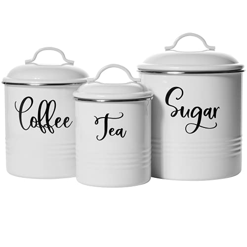
$21.99 ($7.33 / Count)
$27.65 ($9.22 / Count)
Home Acre Designs Food Storage Containers Set with Lids, Farmhouse Home Kitchen Decor Rustic Vintage Canisters
Home Acre Designs

$29.97
$35.97
GROWIT Heavy Duty Gardening Tools - 22-Piece Gardening Gifts for Women, Mom, Men - Durable, Ergonomic Garden Tool Set
SuperDealsDirect
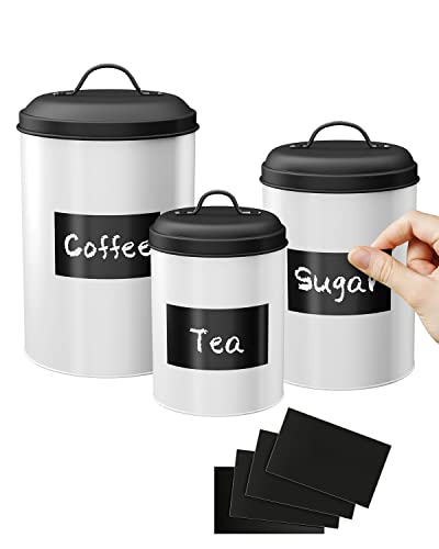
$22.99 ($7.66 / Count)
LF LIKEFAIR Farmhouse Kitchen Canisters Set of 3,Food Storage Containers for Home Kitchen, Tea, Herbs, Sugar, Salt, Coffee, Flour, Herbs (White & Black)
Likefair-Direct

$14.99 ($5.00 / Count)
$19.99 ($6.66 / Count)
AuldHome Design Farmhouse Galvanized Canisters (Set of 3); Storage Containers for Coffee, Tea and Sugar in Galvanized Iron and Wood Design
ClockworkCornucopia

$14.99
$16.95
When There Is No Doctor: Preventive and Emergency Healthcare in Challenging Times (Process Self-reliance Series)
Amazon.com
Minimum 19 to maximum 27 oc with a high chance of showers.
It has cooled down here a lot but there is really high humidity.
It has cooled down here a lot but there is really high humidity.
- Joined
- Dec 20, 2017
- Messages
- 16,360
Rained quite hard off and on here today. Lo of 47, highs tonight in the 50s!
Tomorrow 58/47 with more rain.
Tomorrow 58/47 with more rain.
Light rain here all day. Got a half inch.
Snow, sleet, rain, very, very thick fog and mud. Mud isn't really weather but I saw lots of it today.
C O L D !!!
In the low 20s tonight.
They talking teens next 2 nights..
I need to be outside.
Jim
In the low 20s tonight.
They talking teens next 2 nights..
I need to be outside.
Jim
Wind today. Lots and lots of wind.
We are waiting for the other shoe to drop. Supposed to start in another hour or so, and get very, very bad. Winter mix I think is what they call it; Rain, Snow, and Ice. Not sure what order they come, but you get all three. Got to work no problem. Getting home may be another story.
Temps this weekend are supposed to be single digit.
Temps this weekend are supposed to be single digit.
We are waiting for the other shoe to drop. Supposed to start in another hour or so, and get very, very bad. Winter mix I think is what they call it; Rain, Snow, and Ice. Not sure what order they come, but you get all three. Got to work no problem. Getting home may be another story.
Temps this weekend are supposed to be single digit.
This is what we're getting starting around 2 am saturday morning the "experts" say. Supposed to last all day
7:30 am and the grocery store started filling up today. they act like theres a blizzard coming
41/ 48 here today no rain just real cloudy. Expecting rain by morning.
Winter Weather Advisory has been issued 16 January at 947 pm. til 17 January @6 pm. CST by NWS Kansas City.
Winter Storm expected tonight- Saturday Morning
A mixture of snow, sleet and freezing rain will be overspread of the region from south to north as a strong storm system
approaches the region.This will impact the Friday morning commute across the area as a brief round of snow quickly transitions to sleet, and freezing rain
beginning Friday morning extending into the afternoon.
Freezing rain will later transition into rain in the late afternoon and early evening for most area.
Most through roadways during the evening commute will be slick.
Further north cold air will linger longer into the day and transition to rain will occur much later in day.
Mixed precipitations expected: Total snow accumulations of 1-3 inches and ice accumulations of one tenth of an inch.
Where portions of East central and Northwest Kansas, Northwest and West central Missouri.
Impacts power outages, tree damage are possible due to the ice. Travel could be nearly impossible. hazardous conditions could impact the morning or evening commutes.
Yep this my area.
32* right now feels like 25*
High today is supposed to be 37*
Low will be 33*
100% light rain
Wind 8 MPH SE
7 mile visibility
93% humidity
Barometric pressure is dropping 30.15*
100% precipitation next hour
High today is supposed to be 37*
Low will be 33*
100% light rain
Wind 8 MPH SE
7 mile visibility
93% humidity
Barometric pressure is dropping 30.15*
100% precipitation next hour
Watching it snow again.
It was beautiful today. Went out and decided on where we are going to put the garden.
44/51 and 1.17" of rain since last night.
Nope! no weather here. Temps are just above average, the winds are calm, since the sun set the temps are dropping but no ice.
That may not qualify as "no weather" but it is better than bad or extreme weather.
That may not qualify as "no weather" but it is better than bad or extreme weather.
Beautiful day, sun, no wind, temps in the 50's, down to 35 tonight... predicting same for tomorrow. Strong chance of showers on Sunday.
- Joined
- Dec 20, 2017
- Messages
- 16,360
Supposed to hit 80 here today
Got a window open, cold in the house, beautiful out. Blue skies.
Got a window open, cold in the house, beautiful out. Blue skies.
63*
clear
Wind 3 mph SSW
34% humidity
Low tonight 41*
clear
Wind 3 mph SSW
34% humidity
Low tonight 41*
I can take this everyday....

Except it ain't raining...sun is out and glorious.
Jim

Except it ain't raining...sun is out and glorious.
Jim
Got another 2 or 3 inches of snow here. Sun is out now but the high is only supposed to be 27* with a low in the single digits tonight. Maybe 50* by this weekend.
Super Bowl Sunday was gorgeous. Sunny. Temps in the 60's. Now we are waiting for the other shoe to drop. Cloudy. Temps are falling. They say 100% chance of snow tomorrow. Depends on how the storm tracks. We could get a dusting or it could be significant. Fingers crossed.
West KY is again setting records for rainfall.
It's been pouring all day and last night.
4"
I need a break .
Temps will be falling tonight , it's 60 deg now.
Cold rest of week.
Jim
It's been pouring all day and last night.
4"
I need a break .
Temps will be falling tonight , it's 60 deg now.
Cold rest of week.
Jim
Not that I know anything about rainfall in KentuckyWest KY is again setting records for rainfall.
It's been pouring all day and last night.
4"
I need a break .
Temps will be falling tonight , it's 60 deg now.
Cold rest of week.
 but you know you're supposed to be sending any excess to California, right?
They are constantly rationing water out there
...and we should all have low-flow toilets to help out with their 'cause'
On topic: Great weather down here. Not supposed to get cold until Thursday and only for one day before it's back into the 70's

Mudslinger knows KY rain.
I dug a trench heading west..
They never thanked me.
Believe me we got more than we need.
Jim
I dug a trench heading west..
They never thanked me.
Believe me we got more than we need.
Jim


